Goldstream Provincial Park
|
Click here for a map of the entire park. The most popular trail in the park is Mt. Finlayson.
To the right you will see a map - the green arrow represents where I would park to hike Mt. Finlayson. The book on the far right is the guide I use. |
|
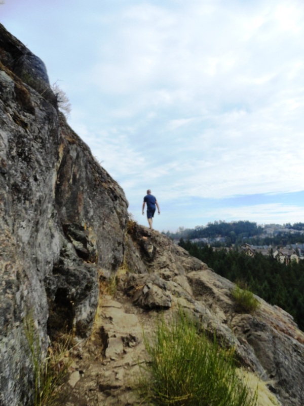
Mount FinlaysonFrom the parking lot at the beginning of Finlayson Arm Road, walk back along the road and cross a bridge over the creek. Keep going and you will soon see a trail head on your right. This is the start of the ascent of Mt. Finlayson.
In 2 km you will climb 419m, so the trail can be quite strenuous. Towards the top, you will have to scramble up rocks which can be dangerously slippery when wet. BC Parks recommends coming down the back side - the safe descent route is 4km and includes a long section walking back along Finlayson Arm Rd. Be careful, there are no sidewalks and small shoulders. Also from the safe descent route, you can follow trails into Gowlland Tod Park |
|
Links |
Other Trails Within the ParkAwaiting exploration!
|